As part of the Spark Labs program for students initiated by Sinet Spark, the InRoad project is being implemented. It is a mobile application for drivers to record the current state of the road surface.
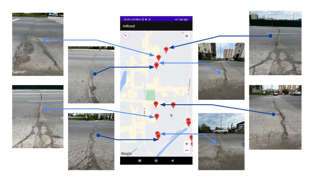
Testing of the application
The idea of the application is based on processing three main threads:
1. Coordinates.
2. Speed.
3. Accelerometer.
When the car run into road unevenness, the accelerometer measures the data, and in the meantime, the app automatically puts a mark on the map. The availability of current data will allow motorists to consider the state of the roads when choosing a route, and the city administration will be able to use the data for planning road repairs and tracking the dynamics of deterioration of the road surface.
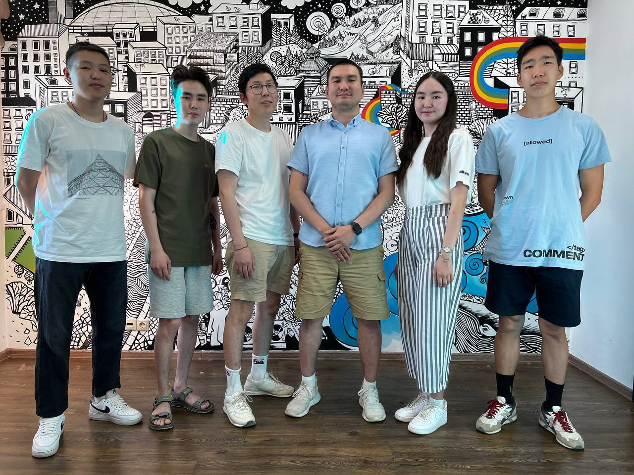
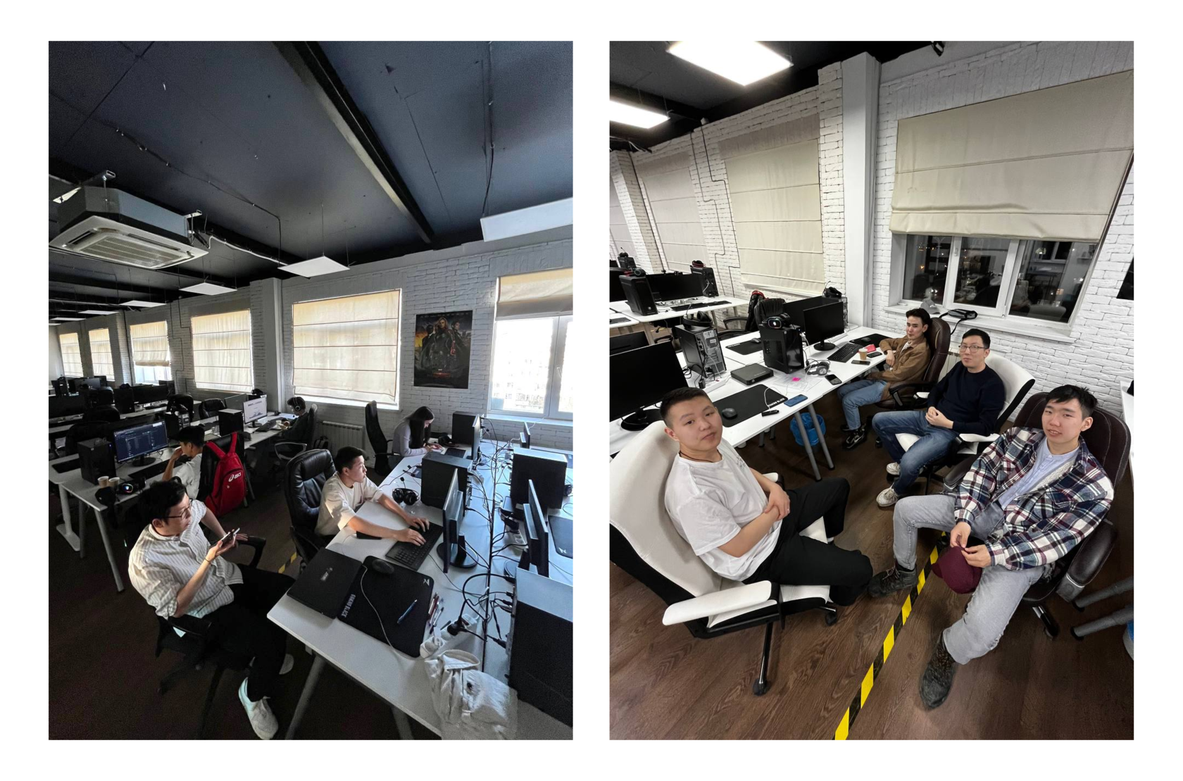
The InRoad project was implemented by a team of four students from the Institute of Mathematics and Information Science at M. K. Ammosov North-Eastern Federal University", a team leader, as well as experienced researchers and advisers who taught, give consultations and helped the youngsters.
The following steps were taken to implement the project:
1. Research of the recording possibility for unevennesses on the road in a moving car.
2. Selection of platform, domain, virtual server.
3. Determination on how the application works.
4. Working on design.
5. Testing of the application and its optimization.
6. Build of an apk, alpha testing.
What are future plans for the project?
- Launch of a beta testing.
- IOS application development.
- System optimization.
- Improvement of the unevenness recording algorithm.
- Adding a color scale for road surface quality.
- Tracking the dynamics of changes in road conditions.
- Adding an app to Google Play.
In the future, more global perspectives of the team:
- scaling to other countries;
- integration into the navigation system;
- development of a voice assistant that warns of unevennesses on the road;
- recommendations for optimum speed on a road.
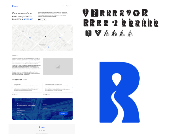
Working on design
We talked to Vyacheslav Argunov, team leader of the InRoad project, and here's what he says about it:
"To launch the project, we went through two stages — initiation and implementation. In the beginning, we recruited students who were interested in mobile app development. We were faced here with the fact that it is hard to find students with such a profile. Next, we started looking for and hiring researchers to help the students to develop the project.
One of our biggest achievements is that we've created an MVP. That is, we have an application that can record road surface unevennesses in real time and display it on the map.
In the near future, we plan to continue working on the project, and after its optimization, we will start beta testing, in which all interested motorists can take part.
Personally, I really like the project and enjoy working with students. I really hope it turns out to be a good product."
Will the new application spur a change in the approach to the construction and maintenance of roads? Or will it just become a handy app for drivers? We can't say for sure, but we are sure that the InRoad project has future and continued development!